
TowerLine GIS
National telecom & broadcast infrastructure registry with interactive GIS coverage.
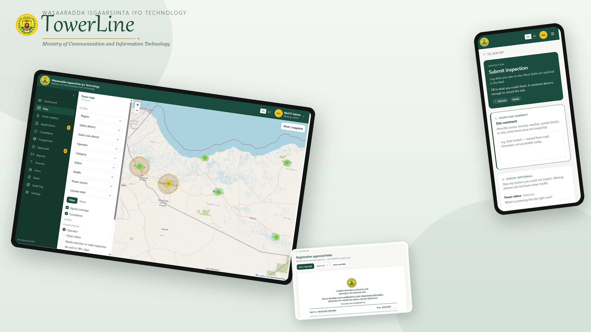
Outcome
1,400+ telecom masts audited, license approvals digitized, 100% field tablet offline sync.
The challenge
Telecom and broadcast infrastructure expanded for years without a unified spatial registry. Field inspections lived on paper, license renewals lagged, and spectrum overlaps lacked a national audit trail.
How we built it
We built a sovereign, role-gated GIS registry on the full Google Maps JavaScript API — custom map styling, marker clustering, InfoWindows, and Drawing/geometry tools for coverage and site work. Every mast gets a unique ID, GPS, structural data, frequency allocation, and operator tenancy. Offline-capable field tablets capture photo proof and score compliance (Classes A–C).
What we shipped
- Google Maps Platform command room: styled basemap, clustering, and regional filter layers
- Tower structural database: height, equipment, co-location tenancies
- Field inspector tablet app with GPS photo verification and offline queueing
- Tiered licensing module (Class A / B / C) with renewal workflows
- Bilingual executive dashboard with one-click ministerial PDF reporting
Overview
A sovereign geospatial registry and field compliance platform managing telecom masts, TV/cable transmitters, and spectrum licenses across Somaliland regions.
Stack
Screenshots & gallery
1 / 8Client voices
“TowerLine gives our ministry a sovereign, living map of every mast and frequency band. That clarity is how we protect spectrum, accelerate licensing, and hold operators to a national standard of accountability.”
“We needed one registry the whole institution could trust — from field tablets to the directorate. TowerLine replaced fragmented paper trails with offline-capable inspections, structured licensing, and reports leadership can act on.”
“For telecom operations, the gap between the tower site and the ministry desk was the problem. TowerLine closes it: GPS photo proof in the field, Class A–C compliance scoring, and a geospatial command room our inspectors actually use.”
Ready to engineer your next system?